Edinburgh aerial photos, Scottish capital buildings, Houses, Scotland properties information and images, Architecture Birds eye views
Edinburgh Maps Information + Images
Lothian Maps + Aerial Images, Scottish Architectural Photos
post updated 19 February 2025
Each Scottish Capital Architectural Tour has an Edinburgh or Leith Map with featured buildings numbered, but these allow an overview:
Purchase Edinburgh Map – Edinburgh: the Photographic Atlas
Edinburgh Maps
City Centre
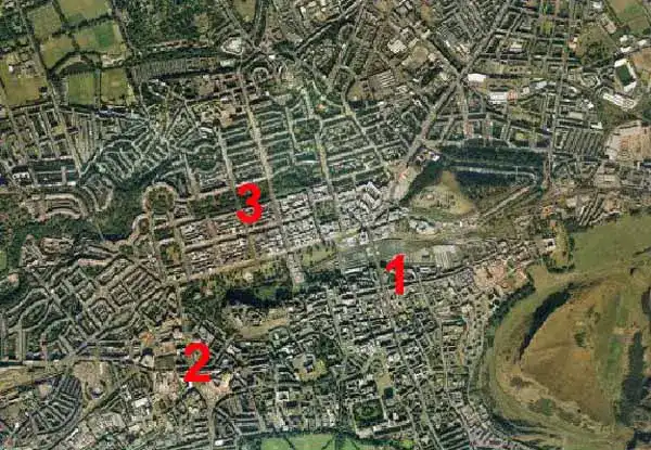
Edinburgh Old Town
Leith Aerial Photos
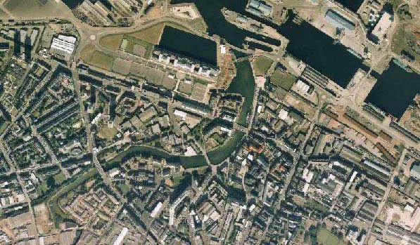
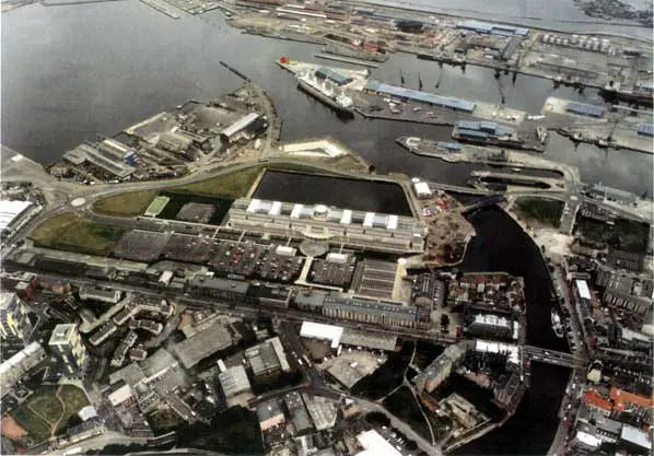
Both Edinburgh Aerial Photos pre-Ocean Terminal (1997)
Other Tours without Aerial Photos (or partial Edinburgh Maps) as above:-
West Lothian I Mid Lothian I East Lothian
SCOTLAND
Edinburgh: the Photographic Atlas
£11.99
2001, Harper Collins IIlustrated, 80pp, hardcover
Edinburgh the Photographic Atlas
Suggested Website for an Edinburgh Map: www.multimap.com
+++
Scottish Capital Building Designs
Contemporary Scottish Capital Property Designs – recent architectural selection below:
Edinburgh Home Demonstrator Project
Rowanbank Gardens Edinburgh Housing
West Town Edinburgh 20-minute neighbourhood
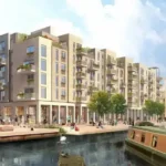
1 Broughton Market short term let apartments
Edinburgh Playhouse Theatre, 18-22 Greenside Pl, EH1 3AA
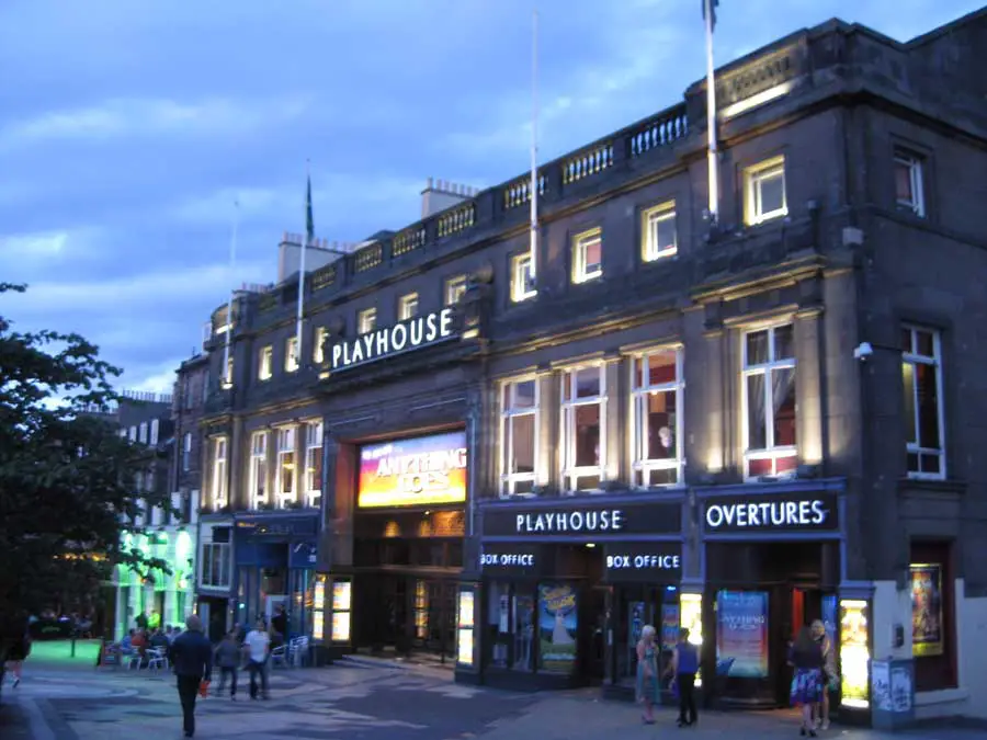
image © Adrian Welch
The Playhouse is the largest theatre in Scotland. It is also the second largest theatre in the United Kingdom, after the Hammersmith Apollo.
Scottish National Portrait Gallery, Queen Street, New Town
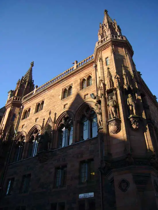
photograph © Adrian Welch
H&M Edinburgh, Princes Street, New Town
photo © Adrian Welch
Dance Base, Grassmarket, Old Town – just south east of the Edinburgh Castle esplanade
Dance Base building image : Steffen Schefer
Edinburgh Airport air traffic control tower
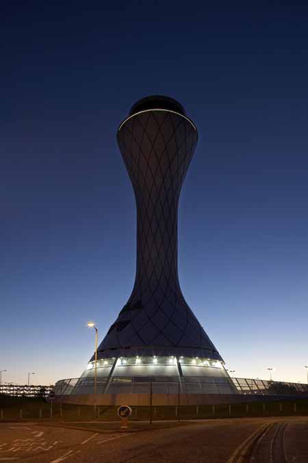
Airport air traffic control tower image : Reid Architecture
City Travel Inn, west fo the city centre
accommodation photograph : Steffen Schefer
Comments on this Edinburgh Map Information + Images in southeast Scotland, United Kingdom, page welcome.